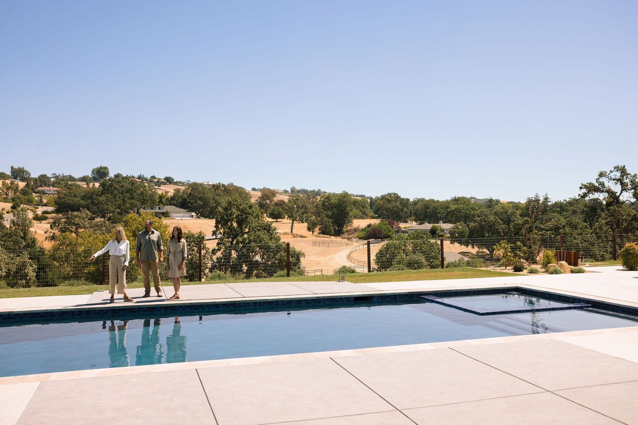
Paso Robles splits along Highway 101 into an east side and a west side, with a historic downtown core and a large rural fringe outside city limits. The east side is generally flatter with newer subdivisions. The west side is hillier, more oak-covered, and holds most of the larger lots. Downtown is the older grid around City Park. The rural fringe is unincorporated county land.
Which one fits depends less on the neighborhood name than on three things: lot size, water source, and how far you want to drive for groceries.
East side
Flatter terrain, rolling hills, oak trees, and the majority of the city's tract subdivisions. Closest to Highway 101, the medical corridor, and most retail. Homes here are typically on city water and sewer. Lots are generally standard residential size, though the eastern edge transitions to larger parcels toward Union Road and Creston Road. The further out, the larger the properties (10, 20, 50, 100+ acres).
West side
Oak-studded, rising into the Santa Lucia foothills. Larger lots are more common, and the transition from in-town to rural happens quickly. Highway 46 West runs from here into the wine corridor and on toward the coast. Some west side properties inside city limits are on city water; properties beyond city limits are frequently on private wells. Confirm water source on any specific property.
Downtown
The older grid around City Park. Period homes, mature street trees, a walking-distance downtown core with restaurants and tasting rooms. Lots are generally smaller and older. Homes may predate current building codes, which is worth factoring into your inspection scope.
The rural fringe
Outside city limits in every direction: north toward San Miguel, east toward Creston and Shandon, west into the 46 West corridor, south toward Templeton. This is where the acreage is. It's also where county rules apply instead of city rules, and where wells, septic systems, and shared roads are common.
Properties in this area sit within the Paso Robles Groundwater Basin, which is managed under California's Sustainable Groundwater Management Act by four Groundwater Sustainability Agencies. If you're buying rural land here, understand the basin before you write an offer. We cover it in our water post, and you should confirm current rules with the County and the relevant GSA.
How to narrow it down
Ask yourself, in this order:
Am I comfortable living on well water and a septic system? That decides in-city versus rural faster than anything else.
How much land do I actually maintain? Five acres of oak grassland is real work.
What's my acceptable drive to a grocery store? On the rural fringe, it can be 15 to 25 minutes.
Frequently asked questions
What's the difference between the east side and west side of Paso Robles? The east side is flatter, newer, and closer to Highway 101 and retail. The west side is hillier, more heavily oaked, and is home to the majority of the wineries in our area.
Are Paso Robles homes on city water or wells? Inside city limits, generally city water. Outside city limits, private wells are common. Always verify by address.
What is the Paso Robles Groundwater Basin? It's the roughly 436,000-acre groundwater basin underlying much of northern San Luis Obispo County, managed under SGMA by four Groundwater Sustainability Agencies. It affects well permitting and usability on rural parcels. Confirm current requirements with the County.
About Lane & Jane Karney
We're Lane & Jane Karney, REALTORS® with Stable Properties. We specialize in ranch, land, and rural residential property in San Luis Obispo County, from Bradley south to Arroyo Grande. We work with buyers evaluating wells, septic, zoning, and access on acreage, and with families preparing legacy ranch and land property for sale.
Have a question about a specific parcel? We're glad to talk it through.
Lane & Jane Karney | REALTORS®
925-286-8981 | [email protected]
DRE 02165892 & 02165893